Top 7 Thrilling Activities in Agafay Desert Morocco for Your 2025 Adventure
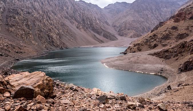
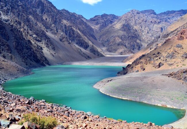
If you’re planning a trip to Marrakech and yearning for a desert experience without the extensive travel time, the Agafay Desert Morocco is your answer. Often called Morocco’s “stone desert,” it offers a dramatic, lunar-like landscape of rolling hills, rocky plateaus, and dry riverbeds, providing a breathtaking contrast to the bustling city life just 35 to 45 minutes away. Unlike the towering golden dunes of the Sahara Desert Morocco, Agafay boasts its own raw, otherworldly beauty, set against the majestic backdrop of the Atlas Mountains. This unique desert in morocco is gaining recognition as an essential Moroccan destination, especially for those with limited time.
What Makes Agafay Desert Morocco So Special?
The allure of the Agafay Desert Morocco lies in its accessibility and distinct charm. While many envision vast sand dunes when thinking of a morocco desert, Agafay presents a “reg” or stone desert, characterized by its fascinating textures and shadows. This stark yet captivating vista transforms beautifully with the changing light throughout the day, offering incredible photographic opportunities, particularly during sunrise and sunset. After winter rains, parts of the desert can even briefly bloom with wildflowers and grasses, a surprising sight for visitors. The overall experience is one of profound tranquility and a sense of vastness.
Why Choose Agafay Desert Morocco Over the Sahara?
For many travelers, the choice between Agafay Desert Morocco and the Sahara Desert Morocco comes down to time and preference. A journey to the Sahara typically requires a significant commitment of at least 3-4 days and an 8-10 hour drive each way from Marrakech. In contrast, Agafay is perfect for those short on time, allowing you to experience desert magic on a half-day or full-day tour, or even an overnight stay, and still be back in Marrakech quickly.
While the Sahara Desert in Morocco offers an immersive overnight experience amidst golden sand dunes, Agafay Desert Morocco provides a taste of desert life with modern comforts and a wider variety of activities. It’s a more affordable desert experience if you’re not booking a luxury camp, and ideal for families with young children or elderly members due to its shorter travel time.
Experience Luxury and Adventure in Agafay Desert Morocco
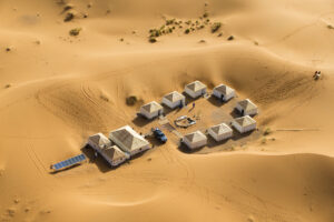
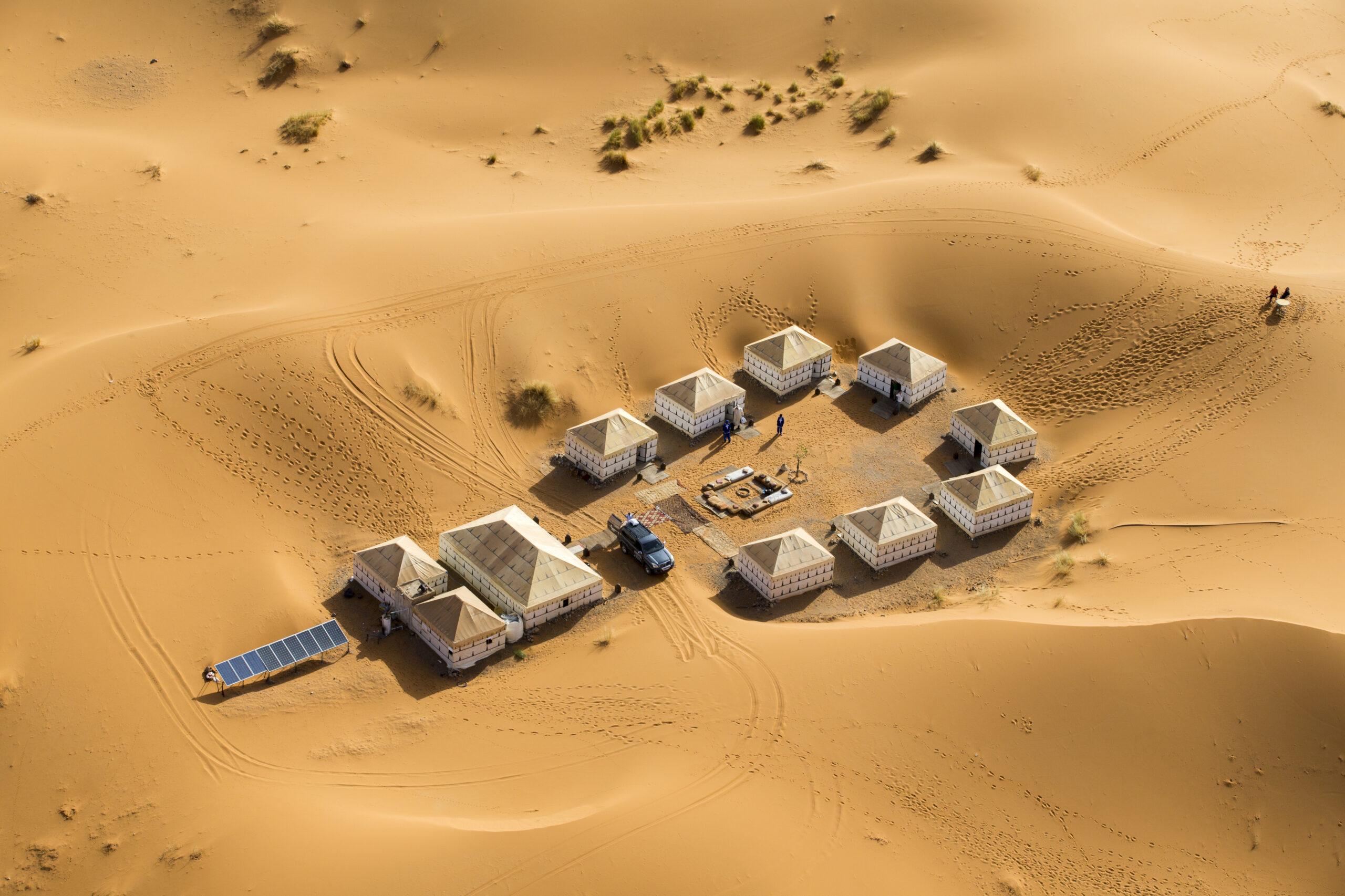
The Agafay Desert Morocco has become a haven for luxury glamping. Camps like Oxygen Lodge Agafay, Inara Camp, and Alkamar Camp Agafay offer comfortable tents with amenities like king-sized beds, private bathrooms, Wi-Fi, air conditioning, and even pools. These luxurious settings create an indulgent yet authentic desert experience.
Beyond relaxation, the Agafay Desert Morocco is a playground for adventure seekers. Popular activities include:
- Camel Riding: A traditional and serene way to explore the rocky landscape, offering unique perspectives, especially at sunset. Tours range from 30 minutes to multi-hour journeys, with prices starting around 200-300 Dirhams for a basic ride.
- Quad Biking and Buggy Tours: For an adrenaline rush, navigate the varied terrain on a quad bike or buggy. Most tours provide safety equipment and guided routes, with prices around 400-800 Dirhams.
- Hot Air Balloon Rides: Capture breathtaking dawn views over the desert.
- Horseback Riding: Another excellent option, especially for experienced riders, with guided rides available.
- Cultural Experiences: Many morocco desert tours in Agafay include traditional Moroccan mint tea breaks in Berber villages, authentic meals under the stars, cooking classes, and live music performances.
- Stargazing: With minimal light pollution, Agafay offers exceptional opportunities for astrophotography and simply admiring the night sky.
Best Time to Visit Agafay Desert Morocco
The ideal times to visit the Agafay Desert Morocco are during spring (March-May) and autumn (October-November). These seasons offer comfortable temperatures for outdoor activities, ranging from 20-28°C during the day and 10-15°C at night. This period also benefits from lower tourist numbers compared to peak winter.
Summer (June-September) brings intense heat, often exceeding 35°C, making early morning or late afternoon activities essential. Winter (December-February) has pleasant daytime temperatures (15-20°C) but surprisingly cold nights, dropping below 5°C, so layering is crucial. Be aware of potential sandstorms from March through June, which can make activities miserable.
Agafay Desert Morocco: A Photographer’s Paradise
The Agafay Desert Morocco provides a unique canvas for photographers. Its stone and rock formations create fascinating textures and shadows. For the best light, aim for the golden hour (sunrise/sunset) or blue hour (just before sunrise/after sunset). The minimal light pollution makes Agafay Desert Morocco a prime location for astrophotography, with the Milky Way visible from April to September. Use leading lines, play with textures, and incorporate scale to capture the vastness of this desert in morocco.
A Final Word on Your Morocco Desert Tour
The Agafay Desert Morocco stands as a unique and accessible alternative to the more distant Sahara Desert Morocco. It offers a blend of adventure, luxury, and tranquility, making it a perfect addition to any Moroccan itinerary, especially for those seeking a morocco desert tour without the long travel commitment. Whether you’re soaring above in a hot air balloon, camel trekking across its rocky terrain, or simply enjoying a traditional meal under a star-filled sky, the Agafay Desert Morocco promises unforgettable memories.
7 Top Things to Do in Agafay Desert Morocco (2025 Guide)
If you’re visiting Marrakech, don’t miss the Agafay Desert Morocco a stunning stone desert just 45 minutes away. This guide highlights 7 must-do activities, from camel rides and quad biking to luxury glamping and stargazing. Perfect for short trips, Agafay offers a unique desert experience without the long Sahara drive. Whether you seek adventure or relaxation, this 2025 guide has you covered. Discover the magic of Agafay and plan your unforgettable desert escape!
Table of Contents
