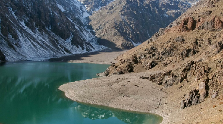
Toubkal, also Jbel Toubkal or Jebel Toubkal, is a mountain in southwestern Morocco, located in the Toubkal National Park. At 4,167 m (13,671 ft), it is the highest peak in Morocco, the Atlas Mountains, North Africa and the Arab world. Located 63 km (39 mi) south of the city of Marrakesh, and visible from it, Toubkal is an ultra prominent peak, the highest for over 2,000 km (1,200 mi). Toubkal is ranked 27th by topographic isolation.
Geography.
Although much of the High Atlas consists of sedimentary rocks, the Toubkal massif is an area of volcanic rocks which have weathered into alpine crests, cut by deep, narrow valleys. To the south, the mountain drops steeply down for 1,800 metres (5,906 ft) to a small lake called Lac d’Ifni. To the west, the mountain’s edge is marked by a pass, the Tizi n’Ouanoums at 3,664 metres (12,021 ft). From this pass, the mountain’s W-S-W ridge rises up to Toubkal West, which forms a shoulder at 4,020 metres (13,189 ft) before continuing to the summit at 4,167 metres (13,671 ft)
LThe north and western sides of Toubkal drain down to the Mizane Valley, which has the passes of both Tizi n’Ouanoums and Tizi n’Ouagane at its head. Two hanging valleys on the western side of the mountain – the Ikhibi Nord and Ikhibi South provide ready access for trekkers and climbers to reach Toubkal’s summit. At one time the northern valley provided the normal route of ascent, but the construction of a mountain hut by the French Alpine Club below Ikhibi Sud now encourages trekkers to ascend via the southern route insteadeslie Alexander
Access
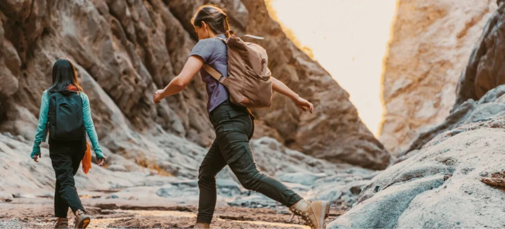
Toubkal is popular with trekkers and ski mountaineers, but less so with climbers, despite its ease of access and sunny climate.[4] Trekkers usually approach the mountain from Marrakesh via the road-end village of Imlil Amsouzart . Qualified guides can be hired, as well as porters, to carry equipment and food supplies higher into the mountains. It is a moderate hike and navigation is not a problem.
The normal route starts with a walk to the village of Aroumd. Beyond Aroumd, a floodplain is crossed and the route follows the left slope of the valley southwards. The valley bends to the east to the tiny settlement of Sidi Chamharouch, which has grown around a Muslim shrine. At Sidi Chamharouch, the path leads over the stream and runs steeply uphill to the right side of the Isougouane valley, which leads to two stone-built refuges (Refuge du Toubkal and Refuge Les Mouflons) that are often used as base camp at 3,207 m (10,522 ft).




Leave a comment: